New map appearance and improved routes with the Elevate themes
There is a new version of the Elevate map themes 2.4.
It’s a major update for general map appearance. The goal was to make the map a bit calmer for all those elements which are not so important for hiking/cycling etc. So the colors for inhabited areas, buildings, airports, borders etc. have been toned down. Highway rendering has been overhauled, as well as place names, so that villages and hamlets are easier to distinguish from towns and cities. Many other changes were made to optimize the appearance.
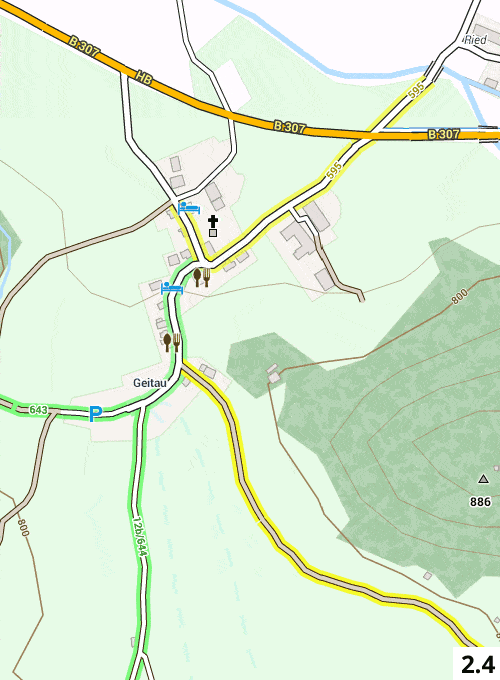
A second major change is the improvements of routes. Local hiking routes now have a separate color (yellow), so it’s easier to follow a regional/local route now. Route refs are more visible.
In the OruxMaps versions the distance of captions to symbols are now larger, so it is possible to use larger variations of the theme on devices with less dpi. Or to resize captions a bit without losing elevation information.
Those and more changes can be found as always in the changelog.
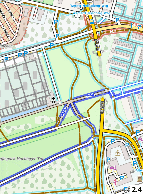
To illustrate the changes in map appearance I attached some comparisons to Elevate 2.3
All downloads can be found as usual on the Elevate theme page, quick installation is highly recommended.
Here are some comparisons to Elevate 2.3:
-

- Locality names

-

- Routes
-

- Roads
I’m glad about feedback, for example in the forum here.
News for smaller Elevate updates can always be found here.
Best regards,
Tobias
Hi Tobias!
Thanks for your work! Elevate become really awesome with your new updates. I am not sure if I should ask my question in the new forum section of the site or I just can use the opportunity to felicitate you here. I am trying to get render networks such as ncn, rcn and lcn which are mtb routes in their appropriate colours and not just in orange. How can I do this? Thanks in advance!
Hi Capola,
thanks for your feedback!
I think the forum is now the main place for questions, but anyway: any way can only have one type of the same tag, here: network. So only network=mtb OR network=ncn etc. is possible. So if a way has network=mtb, it can’t have ncn and vice versa, so it’s not possible to render it.
Best regards,
Tobias
Many thanks for your quick reply, Tobias! Sorry for writing here but as we have started, I will keep on until the next time when I will certainly use the forum. Please correct me if I am wrong but this issue is in fact due to the tag transform? The right OSM mtb tag is route=mtb and not network=mtb, so in theory we could use route=mtb & network=ncn together. Right?
Hi Capola,
for information about tag transform and relation conversion you have to ask Christian. It’s a rather complicated topic, and I don’t know the specifics.
Best regards,
Tobias
Hi,
Relations in OAM are resolved and transformed to network for cycle routes and hknetwork for hiking routes.
Thats couse the osm route-tags are not respected in all countrys and there are a lot of tags from beginning of OSM when relations were not common and route information was stored right in the ways.
There are a lot of country specific tags for routes in GB, CZ, Hungary, CH so I decided to unify this stuff to the “network” tags. The idea is to have ONE line in the rendertheme for a complete group of sometimes propritary tags – this makes things easier for the rendertheme and speeds up rendering on the phone.
Best regards, Christian
I love your themes, thanks for the work done. However, I have a small comment: on my phone, the ski resort and ski slopes area appears completely opaque, masking the altitude curves. for back country skier practicing in resorts, or hikers walking through ski resortd, this could be useful to see the altitude curves. could you make the ski resort areas partially or totally transparent?
Thanks!
Hi,
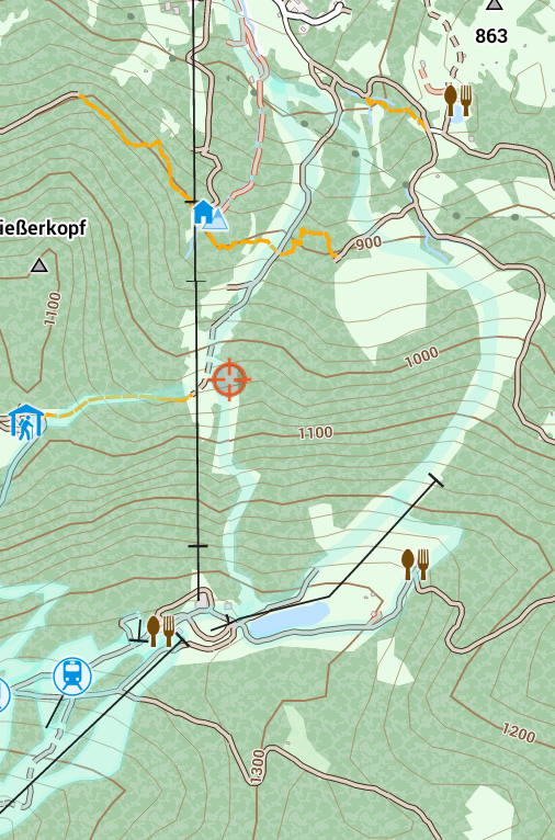
I think there must be something wrong – have you selected the theme? In Elevate, ski pistes are already transparent and contour lines are visible, at least for me. Have a look at this screenshot, the light blue areas/lines are pistes:
Best regards,
Tobias