Dear members of the OpenAndroMaps community,

Another year is drawing to a close, already the 9th year for OAM !
Nine years are a long time in an era in which continous and accelerating change is the only constant.

Without my ally Tobias and Michal and the Members of the OAM Developer-Community OpenAndroMaps wouldn’t be what it is today – probably the best vector maps for all outdoor fanatics and travellers.

I also like to thank all users who made the effort to register in our forum and give hints, suggestions and error reports. This is very important for us as we can be routine-blinded or just lack the time to test every map update for errors. Although our standard is and can only be absolutely professional, we do all this in our rare spare time and with only a tiny budget.

A short summary of the innovations that have been incorporated into the OAM in 2020:

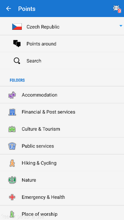
  • offline POIs for Locus
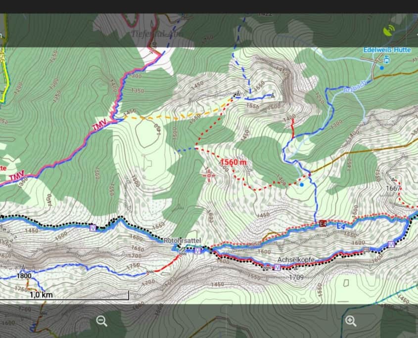
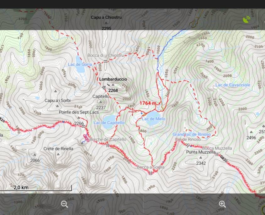
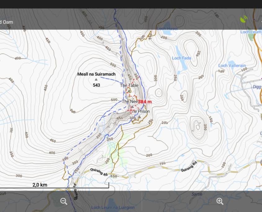
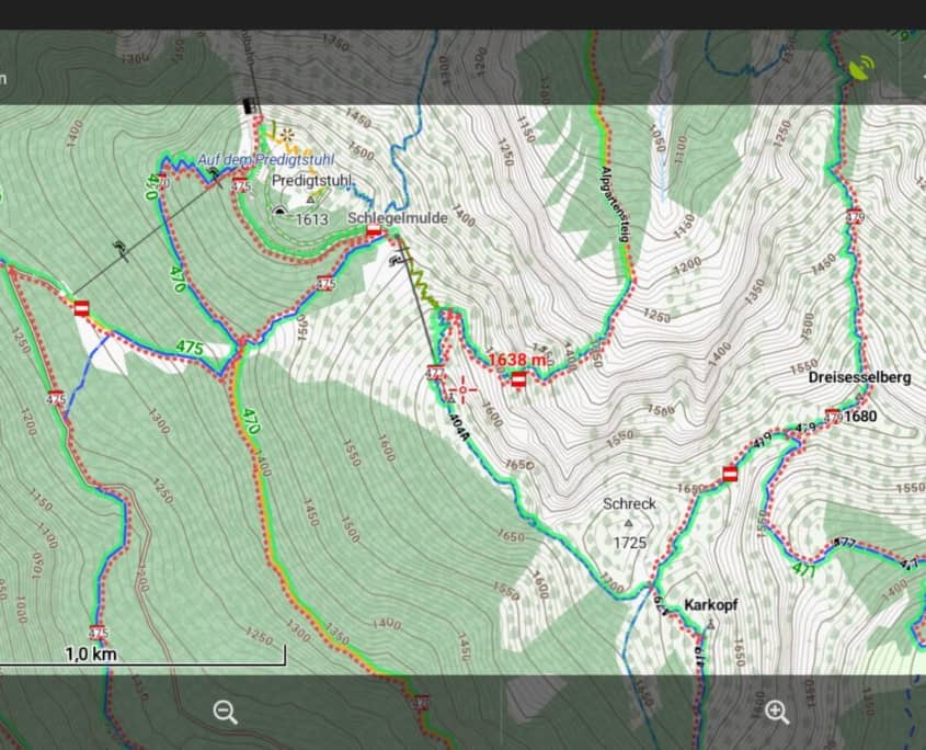
  • 10m contourlines for most maps
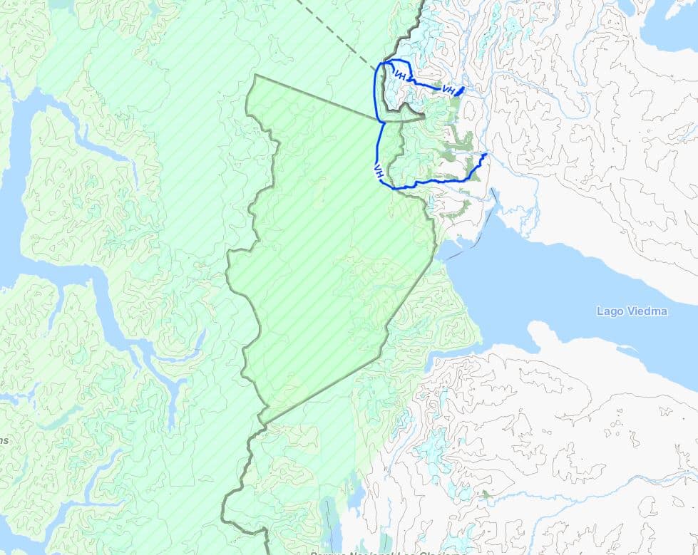
  • better representation and resolving of country and state borders
  • name-labels adapted to curved ways, an essential inovation
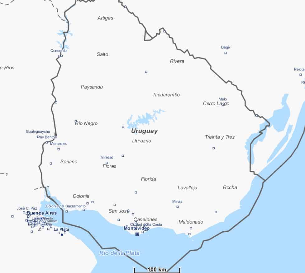
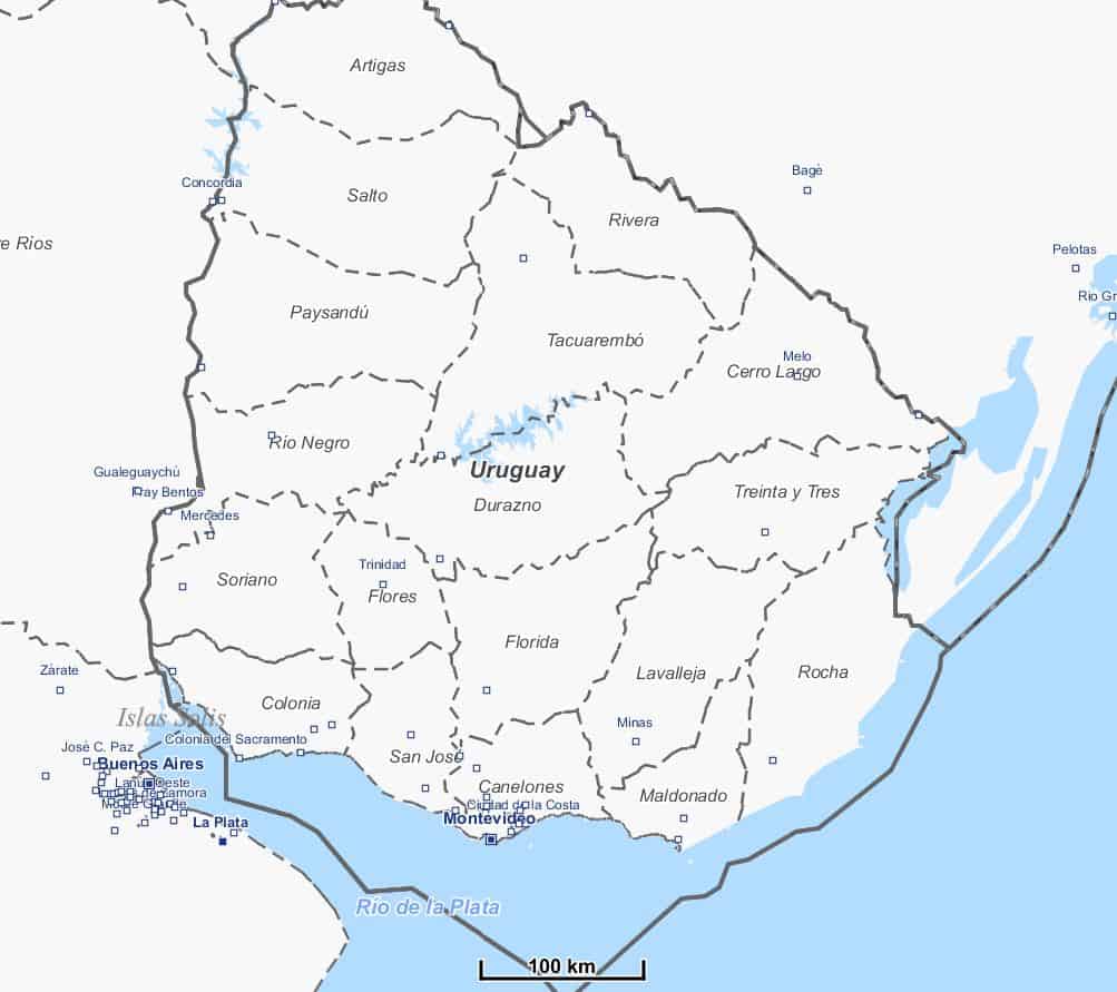
  • the overview/general maps by Michael have been completely reworked, he also created the new map coverage pictures in the download area
  • webservers moved to a cloud-server at Hetzner.de

Investments were also made in the equipment of the rendering machine:

  • The system SSD was changed after 9 years
    At the beginning of the year 2 SSD’s were purchased just for file caching,
    1* Samsung 970PRO 1TB PCI,
    1* Samsung 850PRO 500GB
  • An own graphics card to free another 2GB of RAM for rendering


Our goal is to sustain and enhance this project and ask you kindly to further support us.

The OAM team wishes you all a merry christmas!
Tobias, Michael, Christian
The elevation data for Europe are now very accurate in many areas thanks to flight laser scanning.
Wherever these data are freely available, @Sonny collects them, checks them and interweaves them with Jonathan de Ferranti‘s Viewfinder panoramic elevation data in the areas not yet scanned.

The result is a constantly growing set of elevation data, the best that could be achieved without paying licence fees at the moment.
The accuracy is good enough to make sense for contour lines at 10 meters vertical distance. (which was definitely not the case so far).

To make a long story short:
The following maps are now available with 10m contour lines (more will follow):

Alps, Alps_East, Alps_West, Pyrenees, Austria, CanaryIslands, Corse, Czech_Republic, Great_Britain, UK_Scotland, Ireland, Madeira, Mallorca_Ibiza, Malta, Sardegna, Sicilia, Slovakia, Slovenia, Switzerland, Luxembourg, UK_Wales, UK_LakeDistrict, UK_IsleOfMan, UK_Shetlands

Baden-Wuerttemberg, Bavaria


New and updated Maps:

The Alps-West now also includes the neighbouring Rhone Valley.
New map: BalticStates (Estonia, Latvi, Lithuania as complete map)

More and more boundaries are grouped in relations and thus cannot be reliably processed by the MapsForgeWriter. In the meantime this is like a TikTokChallenge = who manages to create as many completely unnecessary relations as possible. At the islands of the Canary Islands and Madeira, every beach on even the smalest islands is occupied by countless border relations – these have to be filtered out with great effort.
That’s why I have now written this relation resolution from scratch for

boundary=administrative and Admin_Level=1 to 4
Means: national borders and federal states.
…and try to filter out the nonsense relations…

Extreme improvements were made for maps of South America, here even national borders were missing.

The Locus version of the POIs is now finally relesased and included in the map downloads

A separate download of the POIs is not necessary

The result exceeds all my expectations – I use this feature on most of my trips. Never before it was so easy to find the nearest drinking water source on long bike-trips (eg)

As always, I strongly recommend – especially for Locus – to download the map via quick installation. The POIs and the latest version of the render theme are installed in one go.
Even I do it this way – it couldn’t be more comfortable and safe.

The naming convention remains as described in the previous post:

  • [name]_oam.osm.map (= the map file itself, appears in the Locus Map Manager as [name oam])
  • [name]_oam.osm.db (= the POI file for Locus, ORUX users can delete it)
  • [name]_oam.osm.poi (= the POI file for Oruxmaps, Locus users can delete it)

If you participated in the BETA test of the locus-pois, please delete all poi files, empty the cache and then install the new maps+pois. Reason: The BETA-pois were partly buggy and the fragments in the cache disturbs the operation of Locus.

How all this works, incl adding the POI button to the right function-panel + cache_delete you will find

Here on a dedicated page in the manual >>> (click)

LocusMaps LoPois for Search and Navigation howto [en]

Why does this happen:

The current Elevate version 4.4.0 is optimized for Mapsforge 0.12 and higher, which now supports curved path texts. E.g. contourline captions, street names and route refs use this. But this kind of rendering doesn’t work so well in older Mapsforge versions, e.g. all current non-beta releases of OruxMaps. OruxMaps Beta uses Mapsforge 0.12 since 6 months, but it’s a really long beta period, so still no final release. I wanted to release Elevate 4.4.0 after the beta phase is finished, so there was a long time only a release candidate for Elevate 4.4.0. But now there were too many changes in the maps that it was time to release it. Especially the data in the maps for protected areas changed, so users complained that Elevate 4.3.3.1 wouldn’t show those anymore.

But there is still no end in sight for the OruxMaps beta phase (and maybe other apps still use an older Mapsforge version). So I decided to update Elevate 4.3.3.1 to 4.3.3.2 and release it as a legacy version. The only change is compatibility for protected areas with maps from 03/2020 or newer.

[Edit: this has been solved since OruxMaps 7.5.10 (only available via Playstore)]


You can download it here (click)

Please Click here for Quick install in OruxMaps (Android)

######
Here you find the announcement from Tobias in our Forum:

Dear OpenAndroMaps community.

The naming of the OAM maps changes as follows:

1.) From:

  • [name]_ML.map (= the map file itself)
  • [name]_ML.poi (= the POI file for Oruxmaps)

Please delete these files !

2.) To:

  • [name]_oam.osm.map (= the map file itself, appears in the Locus MapManager as [Name Oam])
  • [name]_oam.osm.db (= the POI file for Locus)
  • [name]_oam.osm.poi (= the POI file for Oruxmaps)

As you can see, the long awaited POI files for Locus are now added.
This feature is currently in BETA Test.
If you want to partizipate in the BETA-Test please sign up for the forum (please, use a_real_ EMail Address):
https://www.openandromaps.org/oam-forums/topic/poi-nutzbarkeit-der-dateien-mit-locus/page/7
(mixed German/English)

Please install the maps as before, the POI files will be copied automatically to your mobile device.

If you want to try out the new POIs for Locus you should have a look here,
LOCUS Manual

A clear word: The quality of the original locus poi database is not reached, e.g. the offline location search is missing. If you need this feature you have to purchase the corresponding map in the LocusShop (its cheap) and use the included POI database with the OAM maps (as many users did this in the past)

A video tutorial will follow as soon as the bugs are eliminated.

As Locus has a very good mapsforge support for V4 maps since version 3.38 and doesn’t need a special file structure also, a special Locus version of the map style files isn’t necessary anymore.

Elevate LE, which is necessary for the legacy V3 maps, is still available as separate download on the Elevate page.

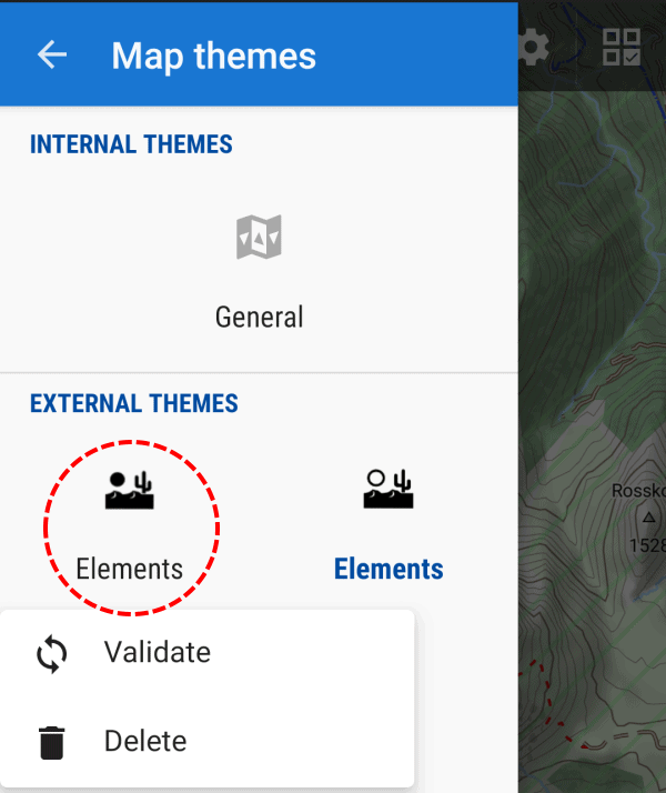
Double Elements: as Elevate now has a new clean file structure, with quick install the old Elements file remains in the theme folder and can still be chosen with the map style choser (in addition to the new version).

This can be solved easily:

  • The simplest way (installations from 03/10/19): just press long on the old Elements icon with the black sun and choose delete (as in the screenshot below)
  • For installations between 30/09/19 and 02/10/19: delete both Elements installation by two long presses on the desert symbols, and install Elevate again via quick install
  • Delete with a file explorer all not needed files in the directory “/Locus/mapsVector/_themes/” on the internal SD card (or which custom theme directory was chosen in Locus); all files and folders with “ele” in the name except the folder “Elevate”; if you delete too much, just use quick install again


For most of you there are no changes ’cause 95% of OpenAndroMaps users already use the multilingual maps.

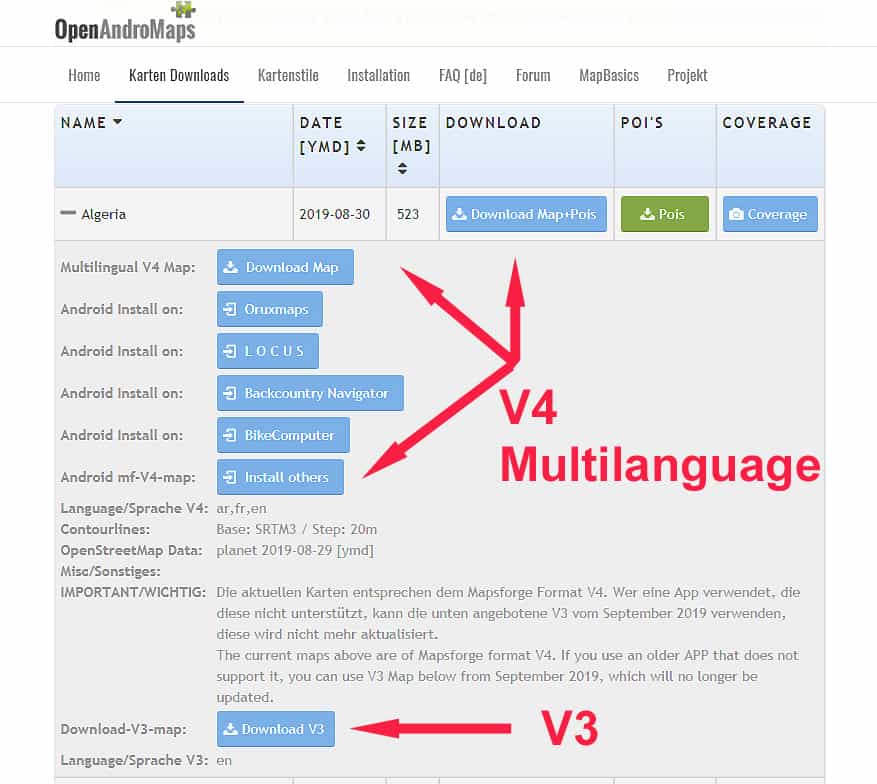
As already announced some time ago, we are now finally switching to the multilingual maps and drop support for the old V3-Maps. These have been around since 2015/16 and I think that 3 years is sufficient to say goodbye to old specifications and open new resources for new developments.

The development of the Mapsforge vector library is progressing and we would like to share with you the advantages and new features. We are working on a new version of the OpenAndroMaps which will be enhanced and modernized especially in the field of cycle- MTB- and hiking routes.

For this it is necessary to drop old Balast.

The 270 V3 maps will be updated in the next 3 weeks and will be available for download by January 2020.
Of course, the download pages will also be adapted accordingly. For now the separate download button for the POIs will be kept – although the POIs are included in the ZIP archives of the maps.

EndOfLife V3-Karten

Best regards

Team of OpenAndroMaps

There’s a new Elevate update after a while. With Elevate 4.3 there are new optional overlays: in the city map style small ways like paths and tracks can be switched off, so the map will be more clear and is better usable for motorists. In hiking resp. cycling/MTB it is now possible to mark paths and tracks where the usage by foot/bike is permitted – this is important in countries where usage is forbidden/private in the first place. Also in cycling now ways are marked especially which are allowed for cycling, but are maybe too steep/rough. And as always some smaller changes.

Some time ago an additional license was added, so Elevate can now be used commercially (but then changing it isn’t allowed). As Elevate is now the main mapstyle for OpenAndroMaps and not the Andromaps mapstyles, and not an additional exclusive one.

Elevate 2 is now deprecated and won’t be updated anymore, as it was already announced in the forum. Most apps, like c:geo recently, now support mapsforge rendertheme V4 mapstyles with mapstyle menus, therefore the parallel development doesn’t make much sense anymore.

OpenAndroMaps will switch to Multilanguage “V4” Maps mid of 2019.
Single Language “V3” Maps will be updated till July 2019 – so, dear users AND APP-Developers, please switch to V4 maps.

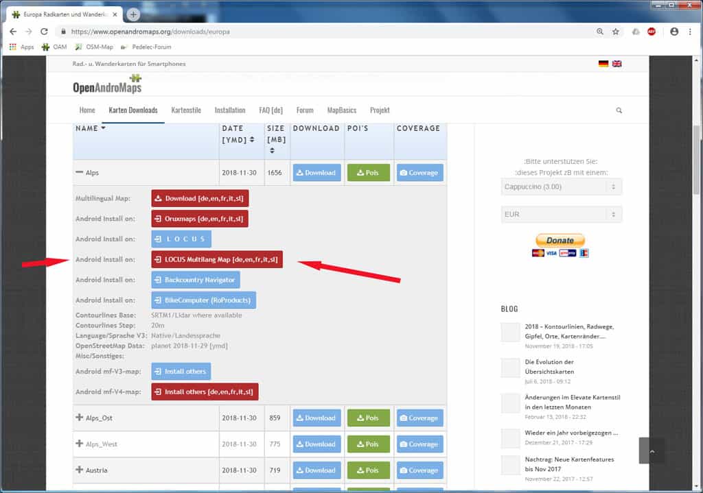
As a service for the big community of LOCUS users OpenAndroMaps now offers a DirectInstallButton for V4 Maps too on the download-pages.
The ony real disadvantage over V3 maps, as I know, is that Locus does not support automatic map switching with V4 maps.

Locus DirectInstall V4 Maps