The demand for openandromaps has reached a level where Google Drive is on its limits (Limits that should not exist..). If you experience problems while download please check back half an hour later and avoid Saturday and Sunday evening.
Next weekend a 2nd download location will be available for testing, probably mega.co.nz.

Best regards, Christian

The maps of Japan are finally available, still without landuse=wood cause of the huge multipolygons Japanese mappers are prefering.
Once the new Rendermachine is in operation this issue will be – hopefully – solved too.
The maps are loading fast an reliable, and contain all features you know from the other maps of OpenStreetMap / OpenAndroMaps.

Procced to download: Japan maps at download/Asia

Best regards, Christian

The same technics I used to fix the map of the Netherlands now made it possible to release a combined cycle/hike map for Great Britain, enjoy !
Now available for download + most of the other European maps updated.

The tables on the download-pages are now sortable according:

  • Date of rendering
  • Name of the Map
  • Size of the map

So its pretty easy now to find the latest updates on the download-pages, just klick on the header cell of the table-column.

New Maps for download:

  • Iraq
  • Arab peninsularl (full coverage)
  • Israel incl Syria, Jordan
  • Vanatu (Ozeanien)
  • New Guinea
  • Seychelles
  • Malta

German maps now are have an enhanced coverage:

  • Germany_North and Germany_South are now overlapping in a wider area
  • On puplic demand I added  Germany_Mid

germany_mid

  • high resolution contourlines (viewfinder 1′ dataset)
  • sac_scale, Mountainbike routes und tracks
  • enhanced tagset covering ski lifts, slopes nordic and alpine, fixed rope routes, power lines aso..
  • an enhanced map coverage for wholeAustria, Switzerland, Slovenia and wide parts of Germany South and und Italy Alps, French Alps

This is the first free and most enhanced vectormap for Android suitable for all outdoor activitys like hiking, cycling, mountainbike and ski touring.

If you like this map please consider to donate a few bucks – thanks!.


Alps V2
All Europen maps from 17.dez.2012 on now include the enhanced Tagset! Please download the latest rendertheme for Locus, for all other maps esp. Oruxmaps both Themes (andromaps_hc and andromaps_mtb) are included in the map downliads.


NEW: “ALPS” with enhanced coverage, featuring

  • high resolution contourlines (viewfinder 1′ dataset)
  • sac_scale, Mountainbike routes und tracks
  • enhanced tagset covering ski lifts, slopes nordic and alpine, fixed rope routes, power lines aso..
  • an enhanced map coverage for wholeAustria, Switzerland, Slovenia and wide parts of Germany South and und Northern Italy

This is the first free and most enhanced vectormap for Android suitable for all outdoor activitys like hiking, cycling, mountainbike and ski touring.

If you like this map please consider to donate a few bucks – thanks!.

All Europen maps from 17.dez.2012 on now include the enhanced Tagset! Please download the latest rendertheme for Locus, for all other maps esp. Oruxmaps both Themes (andromaps_hc and andromaps_mtb) are included in the map downliads.

To offer even better support openandromaps.org moved to a wordpress site. This means that support requests and solutions are now to be seen for everyone here on this site.

The openandromaps vector maps for Android are now the most advanced out here, a lot of improvements were made compared to the 1st generation of the cycle and hike maps for Mapsforge.

Now they are suitable for wide range of outdoor activitys, first Generation included:

– cycle routes (international, national, regional und local)

Now the 3rd Generation include:

  • contourlines
  • cycle and hiking routes  now respecting and resolving local tagging
  • enhanced contourlines, thanks to Jonathan de Ferranti (www.viewfinderpanoramas.org)
  • hiking routes
  • sea tiles (reliable rendering sea in blue)
  • sac_scale
  • mtb:scale + mtb:scale:uphill
  • power lines (for better navigation in open field)
  • …and lots of other improvements

This release of the andromaps is based on the Openstreetmap Database, to made it suitable for Mapsforge meant hundreds of hours work, constant improvement, working around minor and mayor bugs und – of couse your feedback.

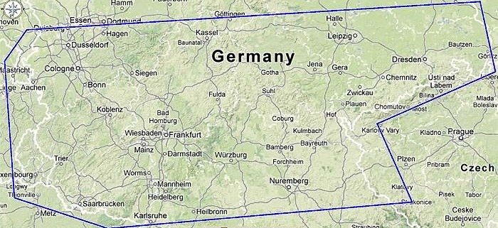
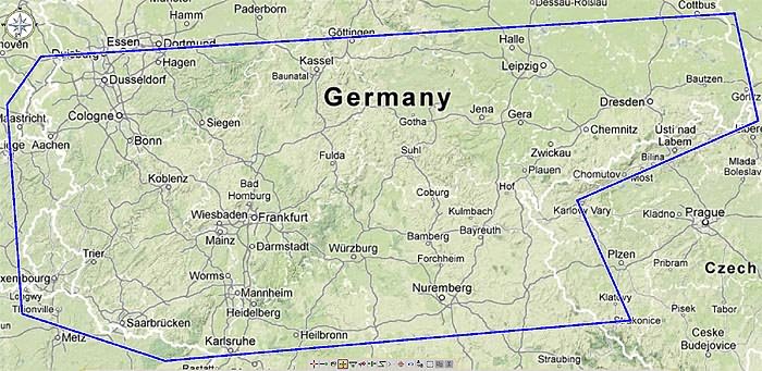
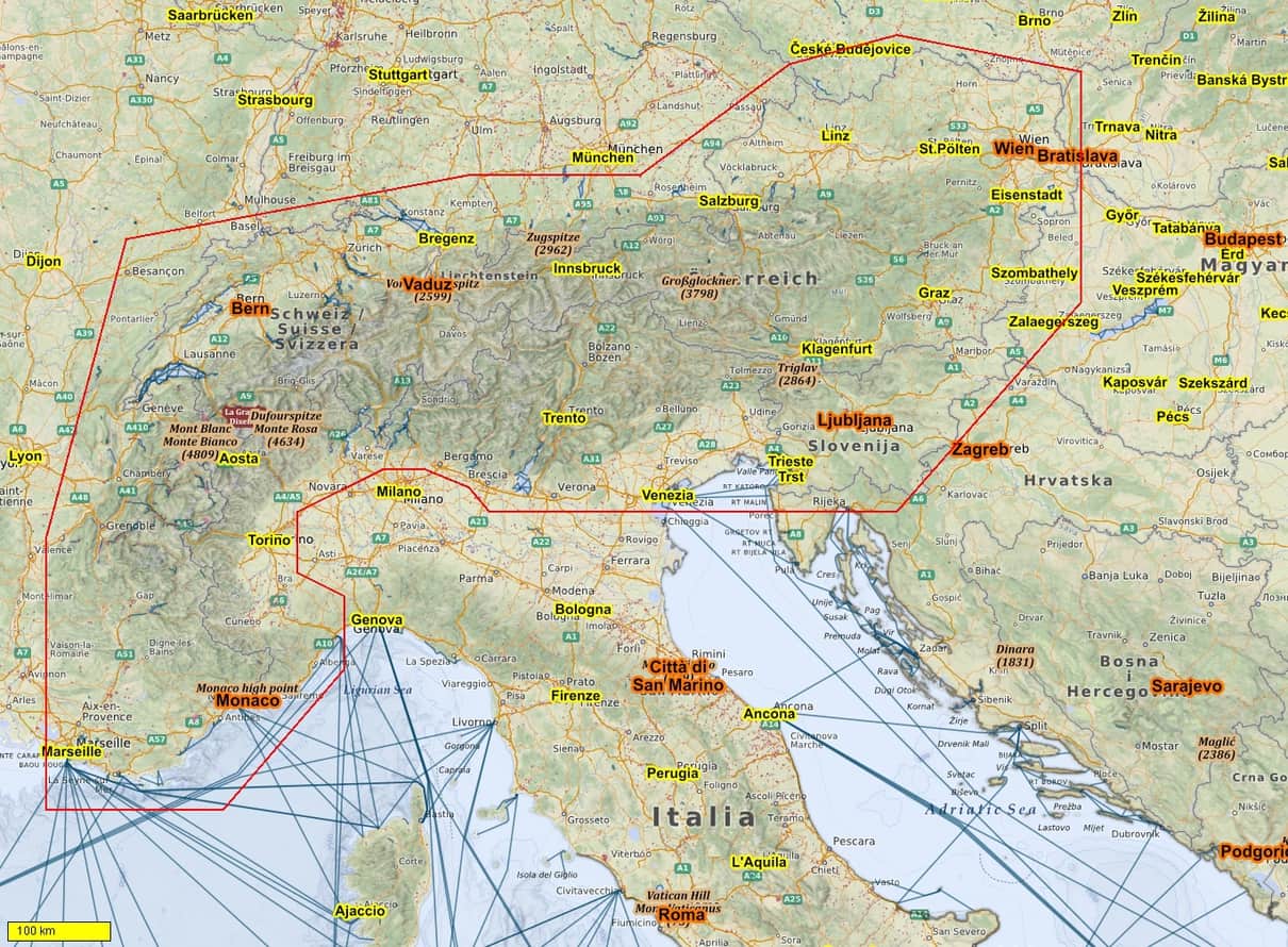
The cycle and hikemaps for Android cover now Europe, the USA (currently without Alaska), some parts of Canadas,  South America, Oceania, parts of Asia, Nepal, Tibet, Afrika, and popular destinations round the globe.

I want to say thanks to thousands of mappers working for the OSM Database, the Mapsforge team, Jonathan de Ferranti for his incredible afforts to serve reliable elevation data to the community for free and Jürgen “Jusc” for his work on the renderthemes.
Happy cycling, hiking, mountaineering, padling, and all things that make fun outdoors 😉

Christian Kernbeis
Wachau/Austria