STANDARD HIKE AND CYCLE THEME
Important news from mapdate 1st of July 2015 on:
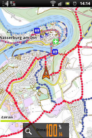
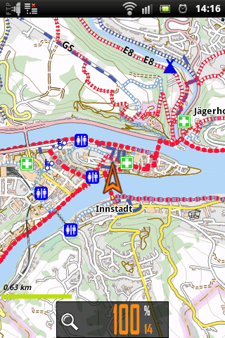
The colors of regional and local cycle and hike routes changed:
- Regional hike and cycle routes which were rendered darkblue are now lightblue
- Local hike and cycle routes which were rendered lightblue are now darkblue
Why?:
The color code of these routes were derived from Andy Allens OpenCycleMaps.
However, Tobias changed this in his latest Elevate3 Theme and it clearly proved that this is the better solution by far cause dark color are better to be seen on a smartphone providing a much better overview at low zoom rates.
So, easy enough, I copied Tobias’s solution 😉
| Schnellinstallation / Quickinstallation - Android (empfohlen / recommended) | Manueller Download (fortgeschritten) |
| OruxMaps Locus BackCountry Navigator BikeComputer | Download |
The files in this Table include all Andromap_## Themes (cycle/hike/hc/mtb/light)
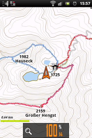
For mountain paths the visibilty is now rendered
from easy to find paths to most serious navigation
= continous line / dashed line / wide dashed line
while the information about difficulty is provided by the color of the line (as it was bevore)
Cycle routes: color code
| ||||
 |  |  |  |  |
Hiking routes: dashed lines cross the ways
| ||||
 |  |  |  |  |
| Color code MTB_SCALE on “offical” MTB-Routes: |
- ••••••••• mtb_scale 0 = light gree
- ••••••••• mtb_scale 1 = green
- ••••••••• mtb_scale 2 = dark green
- ••••••••• mtb_scale 3 = black green
- • • • • • •mtb_scale >3 = black
!!NEW!! sac_scale, dav_scale, via_ferrata
Included in maps from 22.11.2012 on,
for Locus its required to download the latest version of the theme
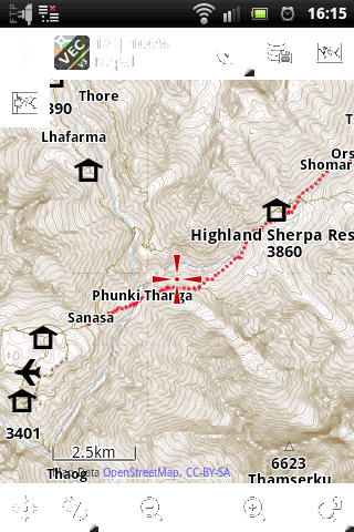
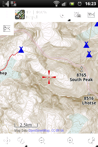
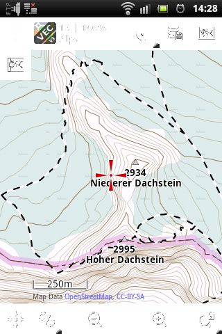
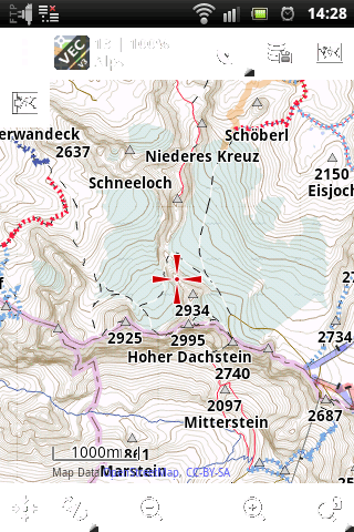
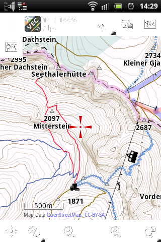
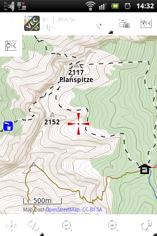
Color code of the paths (highway=path|footway), thin solid line (dashed for most difficult paths)
- —————————— Gray: no informations about difficult available
- ———————— Orange: hiking way without any problems
- ———————— Blue: mountain hike, you need good condition and equipment
- ———————— Red: demanding, steep mountain/alpine hike, sometimes easy scrambling may be possible
- — — — — — —Black: demanding alpine path or fixed rope route, some scrambling envolved, only for experienced hikers/climbers. It is required to refer to local Alpine/Climbing guides bevore you go on these paths!!
Assignement to the codes provided by OpenStreetmap:
| Colorcode in map> | Orange | Blue | Red | Black/dashed |
|---|---|---|---|---|
| Meaning > | easy | mountain hike | demanding, Alpin | most difficult, some scambling envolved or fixed rope route for experienced hikers only please refer to appropriate alpine guides |
| dav_scale | 0/T1/yellow | T2/blue | T3/red | T3/black |
| sac_sale | 0/T1 | T2 | T3 | >=T4 |
| via_ferrata |
Priority of the scales:
- ways tagged as “via_ferrata_scale=*” (except via_ferrata_scale=0*) or “sport=via_ferrata” are _always_ rendered black dashed.
- The sac_scale have priority over the dav_scale
Link to DAV-Skale (German only)
Link to sac-skale at OSM-wiki (Attention!! red and blue have different meanings to DAV-Scale)
.
 |  |  |  |  |
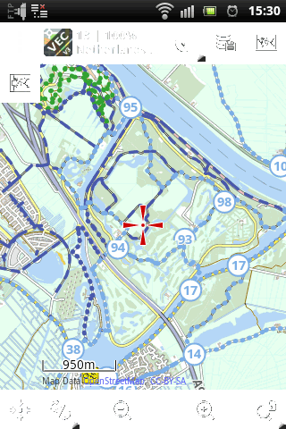
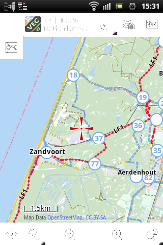
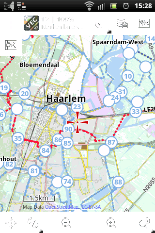
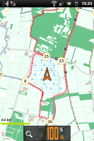
Cycle Nodes: (Knotenpunkte) Netherlands and Belgium only
Hiking nodes: (Knotenpunkte) Netherlands, Belgium and Germany
| ||||
 |  |  |  |  |