More maps with 10m Contourlines
The elevation data for Europe are now very accurate in many areas thanks to flight laser scanning.
Wherever these data are freely available, @Sonny collects them, checks them and interweaves them with Jonathan de Ferranti‘s Viewfinder panoramic elevation data in the areas not yet scanned.
The result is a constantly growing set of elevation data, the best that could be achieved without paying licence fees at the moment.
The accuracy is good enough to make sense for contour lines at 10 meters vertical distance. (which was definitely not the case so far).
To make a long story short:
The following maps are now available with 10m contour lines (more will follow):
Alps, Alps_East, Alps_West, Pyrenees, Austria, CanaryIslands, Corse, Czech_Republic, Great_Britain, UK_Scotland, Ireland, Madeira, Mallorca_Ibiza, Malta, Sardegna, Sicilia, Slovakia, Slovenia, Switzerland, Luxembourg, UK_Wales, UK_LakeDistrict, UK_IsleOfMan, UK_Shetlands
Baden-Wuerttemberg, Bavaria
New and updated Maps:
The Alps-West now also includes the neighbouring Rhone Valley.
New map: BalticStates (Estonia, Latvi, Lithuania as complete map)
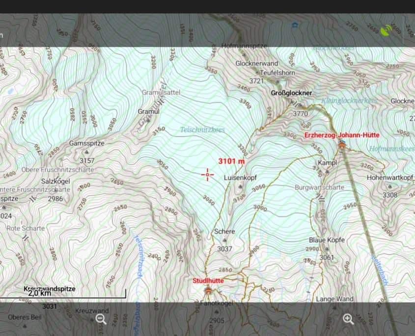
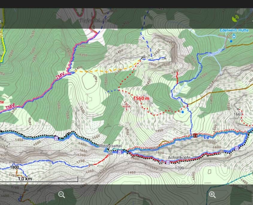
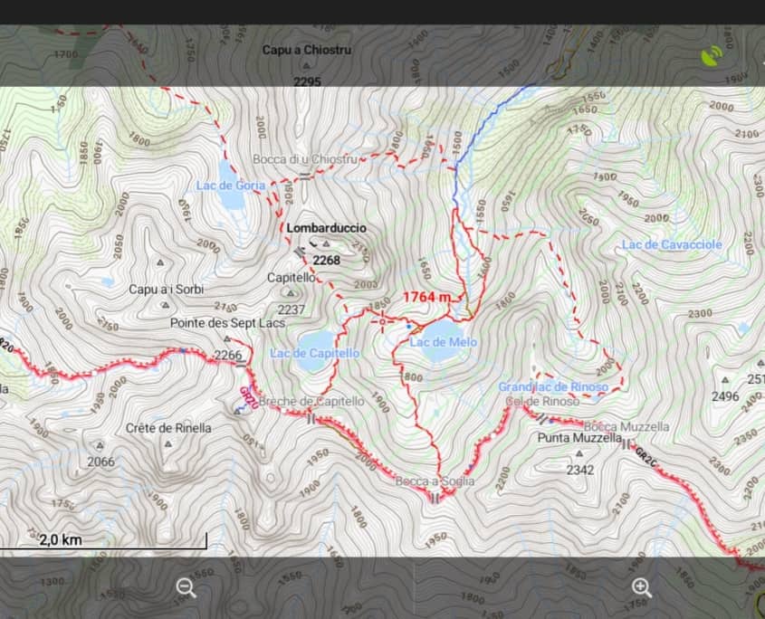
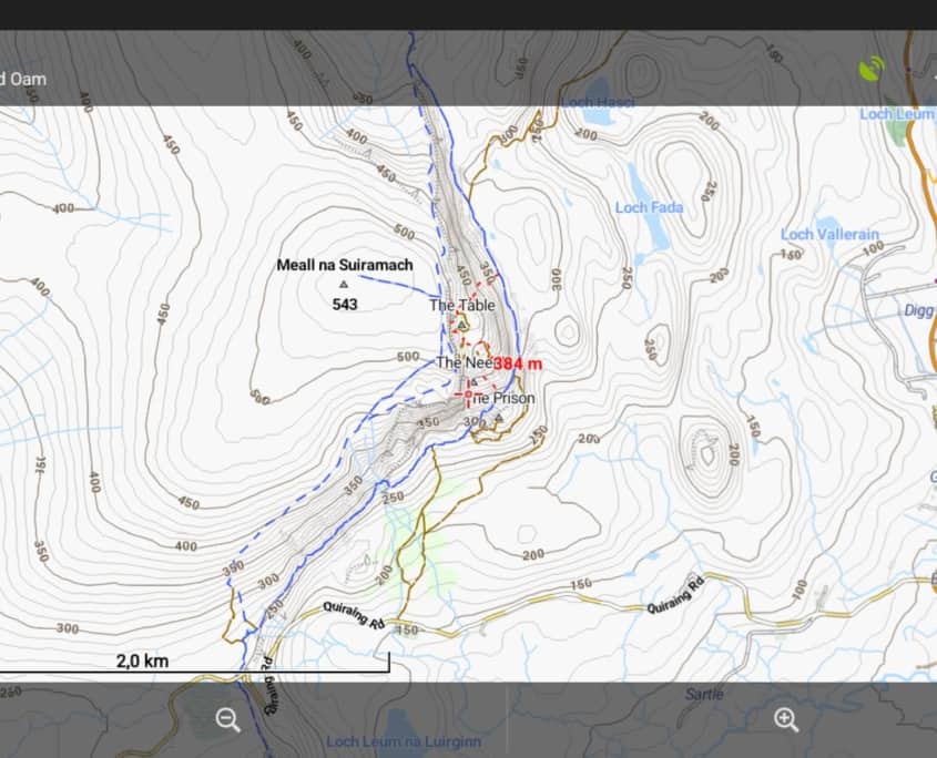
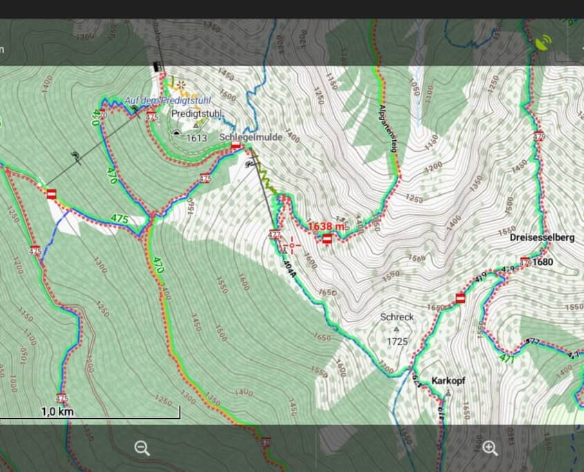

Well done for providing 10m contours. They do help model the steeper ground better. I’ve just updated my map of the UK and it looks great. Much appreciated. Keep up the good work 🙂