New Elevate versions 3.0 and 2.5
After some development time with several test version in the forum Elevate 3.0 has been released today. Please take notice that this version can only used with apps that are compatible with mapsforge 0.5, e.g. OruxMaps 6.4beta and later, Cruiser and Atlas.
As many apps aren’t (e.g. Locus, the current OruxMaps playstore version 6.0.7) I also added a legacy version Elevate 2.5 which has many of the improvements of Elevate 0.3, as far as possible.
Both versions can be downloaded here.
The big improvements of Elevate 3.0 are:
- Map styles are now integrated in one theme file, this means hiking/cycling/city can now be selected directly, only Elements needs another theme file. The map styles differ more than before.
- Overlays make it possible to switch on or off of different elements, e.g. captions, symbols, protected areas etc.
- Additional overlays are showing now better visible and emphasized hiking or cycling routes or are a public transport network is shown.
- Priorities make it possible that settlement names and important symbols are shown much more reliably.
- A version with SVG-symbols is now scalable for all kinds of devices. The size variants are now only necessary because the glow of symbols there makes them easier to see.
- Elements now supports all map styles as in Elevate with hiking, city or cycling. The difference is that everything is shown as soon it is contained in the map data.
Additionally many improvements and new map elements have been added, in Elevate 3.0 as well as in Elevate 2.5:
- Cycling: cycleways are now emphasized and surface information is shown.
- Cycling: paths and footways with cycling=yes are now rendered like cycleways.
- Accompanying cycle lanes/tracks on roads are now shown.
- Hiking/city: cycleways with foot=yes are now rendered like footways.
- New settlement names like capitals, farms and quarters are now shown.
- And many more smaller improvements and additions.
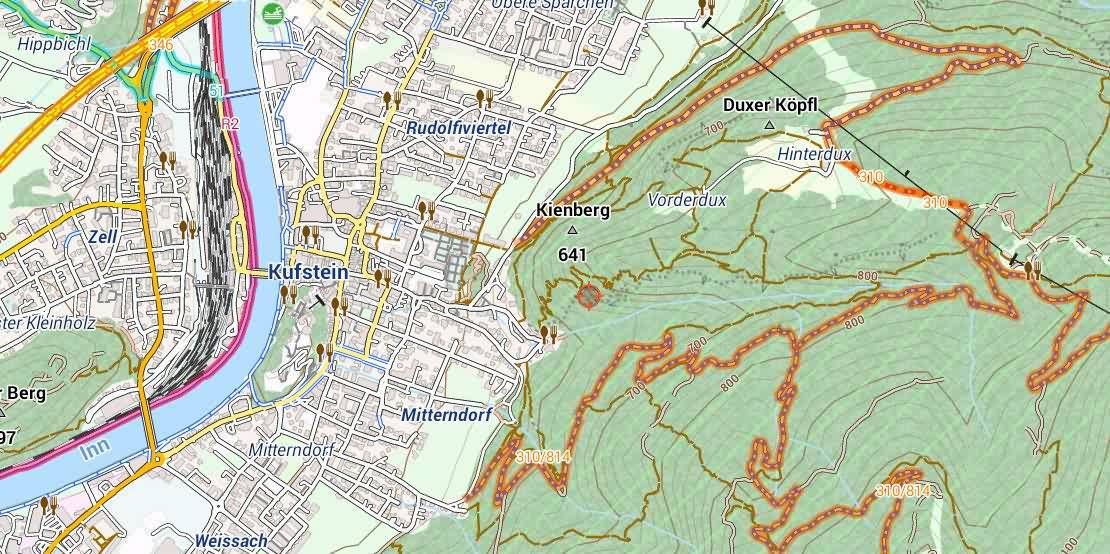
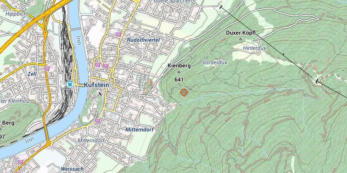
Here are some comparison and example pictures. Please use the forum for feedback.
-
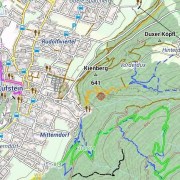
- Hiking

-
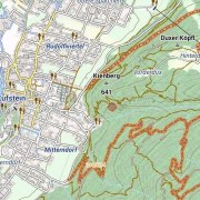
- Cycling
-
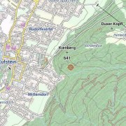
- City
-
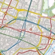
- Public transport network

PS – corrections for the translations in the map style menus are very welcome
