


OpenAndroMaps will switch to Multilanguage “V4” Maps mid of 2019.
Single Language “V3” Maps will be updated till July 2019 – so, dear users AND APP-Developers, please switch to V4 maps.
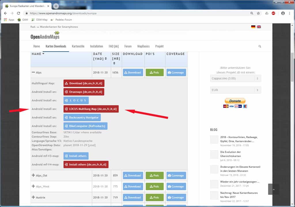
As a service for the big community of LOCUS users OpenAndroMaps now offers a DirectInstallButton for V4 Maps too on the download-pages.
The ony real disadvantage over V3 maps, as I know, is that Locus does not support automatic map switching with V4 maps.
Finally its snowing, not that much but more like a real winter than the 20°C we hat here in Austria in October.
So outdoor cycling and season is more or less over and time to look back and report the improvements for OAM Maps in 2018.
Most innovations and improvements are the result of suggestions from the forum.
So I recommend to take a look at the forum area from time to time.
Click here for the forum topic “Elevate News” where @Tobias constantly reports the numerous improvements of the Elevate / Elements rendertheme.
This works without registration. If you want to register please make sure to use a “reputable” email address – the spam filter is strict cause otherwise I have to delete not 5 but 500 fake / spam registrations every day.
So here are the most important improvements for the OpenAndroMaps 2018:
– Mapborders: Skipped / missing Relations (white lakes eg.)
The problem was that rendering of OSM Objects like roads, forrests, lakes, rivers,.. was completely skipped when these objects exeeded the mapborders.
@Steffen, a “C” programmer who supported the OAM Team with his knowledge for several times, compiled a special Version of OSMCONVERT that now _really_ works on Windows7/64 and preserves these objects. So now lakes are blue even when these exeed the map-coverage. Most important is this for the Great Lakes in Canada an Africa.
And – now its possible to simplify map borders with a better coverage cause map borders now can cut through lakes without loosing details.
– Map-Coverage:
For most of the 280 maps the coverage / mapborders have been simplfied.
This looks much better, the problems for rendering objects at the borders are reduced – lots of work but for 90% done now.
– Priority for rendering places and data-cleanup for peaks:
@Michael has finished a monster-project. He worked through all “places” in the OSM database and assigned kategories to places depending on the population of these places. This means assignement of places to zoom-levels now is much more accurate than before – this a huge improvement.
Second @Michael has worked through all “peaks” and cleared all foulty ele-tags like elevations set in “feet” cleared to “meter”, eliminated wired chars… – so now the algorithms from @MaxBe work on a clean databbase resulting in accurate rendering of peaks and saddles.
– Cycle Lanes / Oneway
Improved rendering of several more variants of cycle-lanes in conjunction with “oneway”
– Contourlines
@Sonny has firther improves the integration of free LIDAR (Laser) elevation data.
For detail maps of Great Britain we spipped from Viwefinder3 elevation data to the improved NASA SRTMV3 1″ Dataset with 10m contourlines:
- UK_Scotland
- UK_Wales (new)
- UK_LakeDistrict (new)
- Ireland
– Lots of minor improvements
Like rendering of house_numbers assigned to Relations,
Map of Pyrenees now covers whole Northern Spain from Atlantic to Mediterranean Sea so hikers on the Jakonsweg need only one, small map for Northern Spain,
….
The OAM-Team wish you a pleasant a Winter!
For two years after the Nov 2016 edition of the world overview maps I have worked on the curation of additional content to be put on top of the variouis background maps for the different zoom levels. Why ? I am a curious traveler to places where “always on” is (still) a lie. In the case of interest in something about a country or region or province, too much jumping back and forth from offline Wikipedia (like Aard2 or Kiwix) is annoyance. So, I put a number of information directly into the world overview maps:
– The capitals of countries, states and provinces of many countries are shown in 3 different colours, in English and local language (if significantly different).
– Islands and archipelagos, in particular the remote ones, are hard to spot on maps – here is remedy by highlighting them, from zoom level 3 up.
– Triggered by an OAM forum discussion about visibility of peaks, and with the help of Max’ algorithm to select, 100s of important peaks are highlighted.
– Also the major ocean deeps are shown.
Some insights into the process: the current MOBAC rendering tool with the Mapsforge library embedded does not provide a proper visibility of labels like settlement names. Even big cities may not show up at all. Using Maperitive in addition allows to take control of the label renditions in a predictable way. Unfortunately, Maperitive has a bug omitting the leftmost or rightmost of a label for a fraction of a label. Playing with scope and zoom around the affected place the missing parts can be added in a manual patch step (at least for the most visible cases like highlighted capitals – I hope I caught those all). Once you go this route, this opens an additional option: make larger settlements dominate the label display in a much more accurate way than the simple city-town-village-… attributes in OSM would allow. Hence now also the size of the settlement labels increases by population (in 11 catagories), if provided in the OSM data set (hopefully correctly!), otherwise a minimum assumption is made for the OSM categories city, town and village. As Maperitive is an OSM tool, this is achieved by amending the original data with categories of population sizes. Those “PopCat” tags are now also embedded in Christian’s OAM maps. They can be used by themes to select (restrict) the settlement names to be displayed. The adaption of the latest Elevate theme is on my list for 2018, but maybe somebody else is faster 🙂
Bottom line: the intent behind all that is to have essential geo information at a finger tip, fully OFFLINE. A sort of companion for Offline Wikipedia. Enjoy!
Michael Bechtold
Elevate updates don’t bring huge changes anymore, but smaller ones, that, when added up, make a big difference altogether. Therefore once again the hint here that only with current map styles and maps all improvements get visible. Recently those were important changes in Elevate, and some smaller ones as well. Look at the legend for further information.
- a new overlay for extended road surface information
- new via ferrata rendering
- solid/dashed borders for cycleways
- changed visibility information for paths without sac_scale
- prominent peaks are now shown earlier and, if the app supports it, are prioritized
- hiking waycolor is displayed along waymarks
- the overlay contents have been rearranged a bit
- access limits are much more accurate to the mode of transportation the map style is made for
The newest downloads and the changelog can be found as always on the Elevate page, and for e-mail notifications for further updates of Elevate just subscribe to this thread in the forum.
Best regards,
Tobias